CBRE
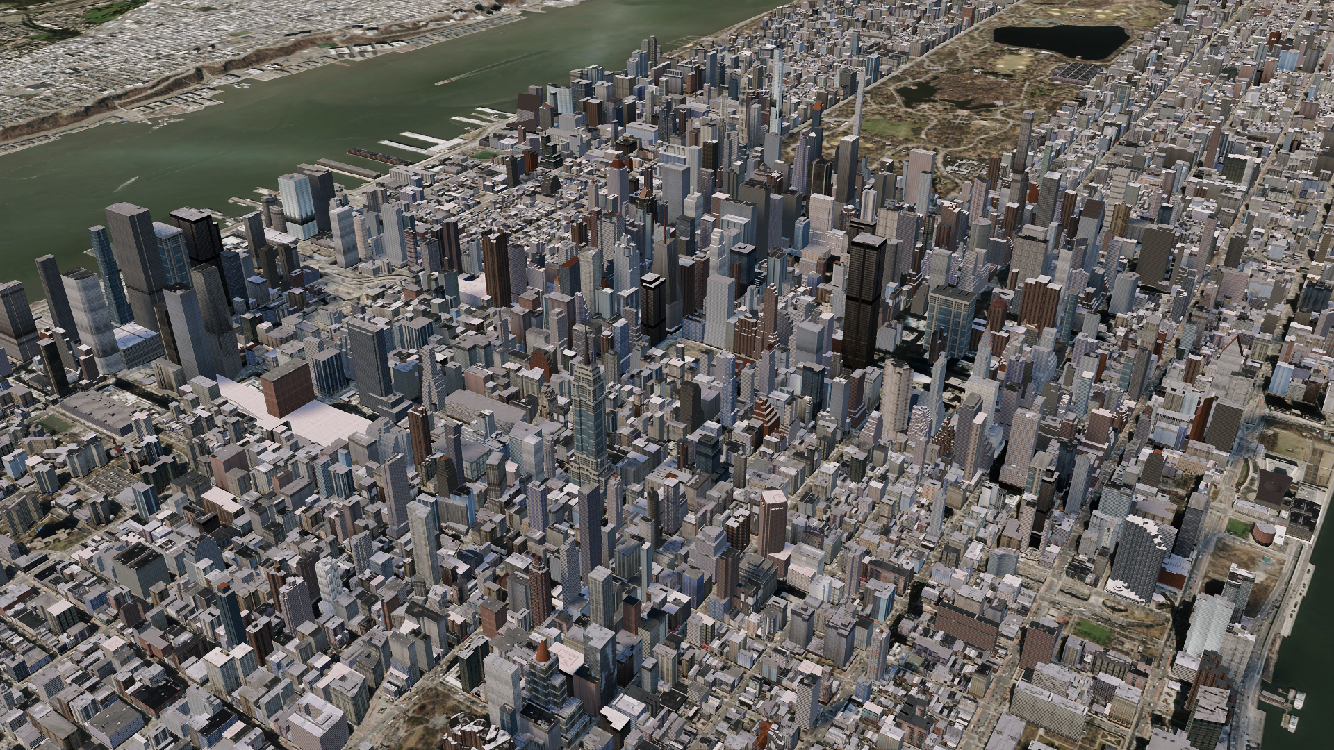
At my time working at CBRE we worked on a project building realistic interactable cities using Unity and ArcGIS. Our three-person team was fantastic and worked cohesively. Our program was a Unity build hosted on an external server. Using a Web Socket container, Json events were sent from the front-end UI to the Unity build. From there users could use the UI to control the camera as well as display different information about the city and buildings.
My responsibility as the Unity programmer was to procedurally generate 3D models of the buildings and import them into Unity. This was a particularly challenging process due to the number of buildings we rendered and imported. We worked with a team from Unity to optimize our systems to handle hundreds of thousands of models inside of our project. From there the models were run through multiple custom tools written by myself to contain real-world positional and demographic data. This step allowed for user interaction with the buildings. Buildings could be highlighted, display data, and be used in a larger demographic presentation. Additionally, I was in charge of the optimization of graphics, 3D Meshes, and the build pipeline.
Below is a link to the GitHub repository and example scripts from the project. I highly encourage you go look at the CreatedBuildingControl script. Additionally, I have final renderings of Toronto and New York City we created in Unity. We had a total of 27 cities at the end with an average of 25,000 buildings in each city.


